-40%
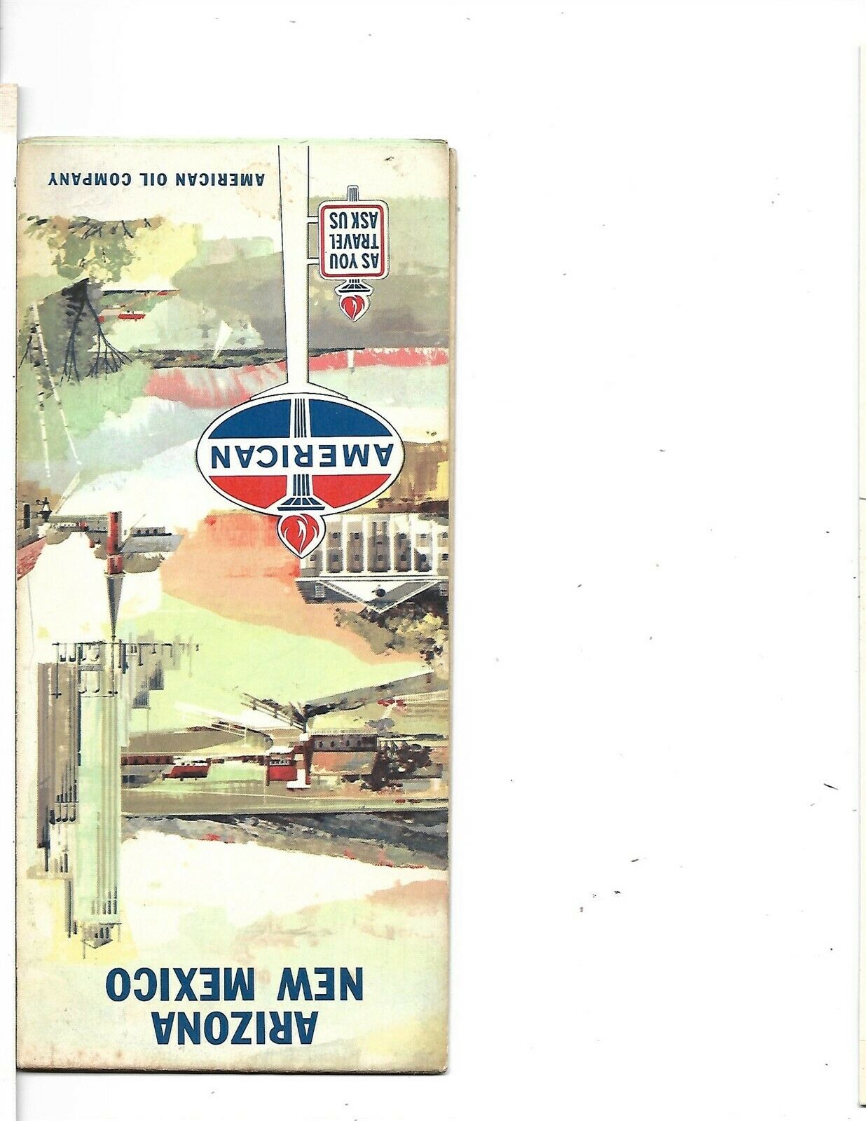
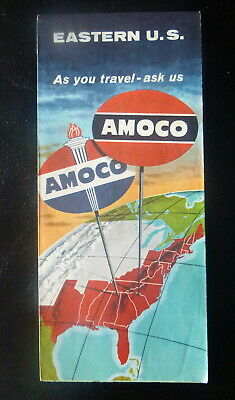
1962 AMERICAN OIL Road Map ARIZONA NEW MEXICO Albuquerque Tucson Phoenix US 66
$ 4.21
- Description
- Size Guide
Description
Handsome fold-out 1962 American Oil Company road map of New Mexico and Arizona, printed more than 58 years ago.The map opens to 18" x 33" and has great detail on old highway alignments, including U.S. Route 66, with cartography by Rand McNally.
The map also labels Route 666, which was nicknamed the "Devil's Highway" because of the reference in the Bible (Revelation 13:18):
Let him who has understanding calculate the number of the beast, for it is the number of a man: His number is 666.
Although this road's designation was simply the result of its being the sixth branch of U.S. 66, it generated sufficient controversy that a few years ago the American Association of State Highway and Transportation Officials gave it a new number: U.S. 491. Consequently, U.S. 666 no longer appears on today's maps.
There are inset plans of Tucson, Phoenix, Albuquerque, Roswell, Santa Fe, and Grand Canyon and Carlsbad Caverns National Parks.
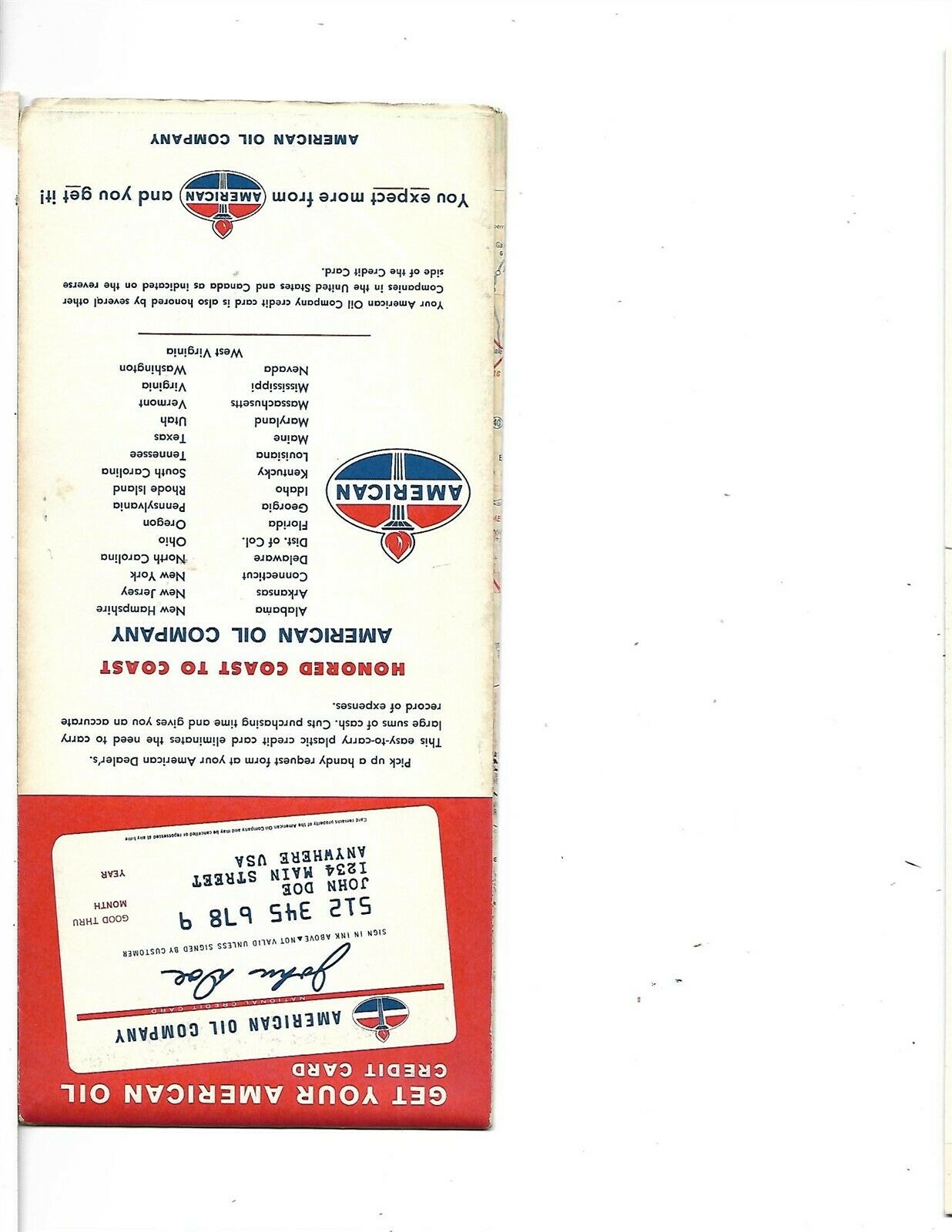
The map was distributed by American in 1962 and is dated by the code number in the lower margin: 2-5649-11. The back cover has an ad for American's credit card.
Condition:
The map is in very good condition, bright and clean, with
no
rips, tears, or writing. Please see the scans and feel free to ask any questions.
Buy with confidence! We are always happy to combine shipping on the purchase of multiple items — just make sure to pay for everything at one time, not individually.
Powered by SixBit's eCommerce Solution
